INFORMATION FOR NAVIGATORS

To ensure navigation the Jurmala port authority performs annual maintenance works of the navigation channel.

Placement of navigation signs

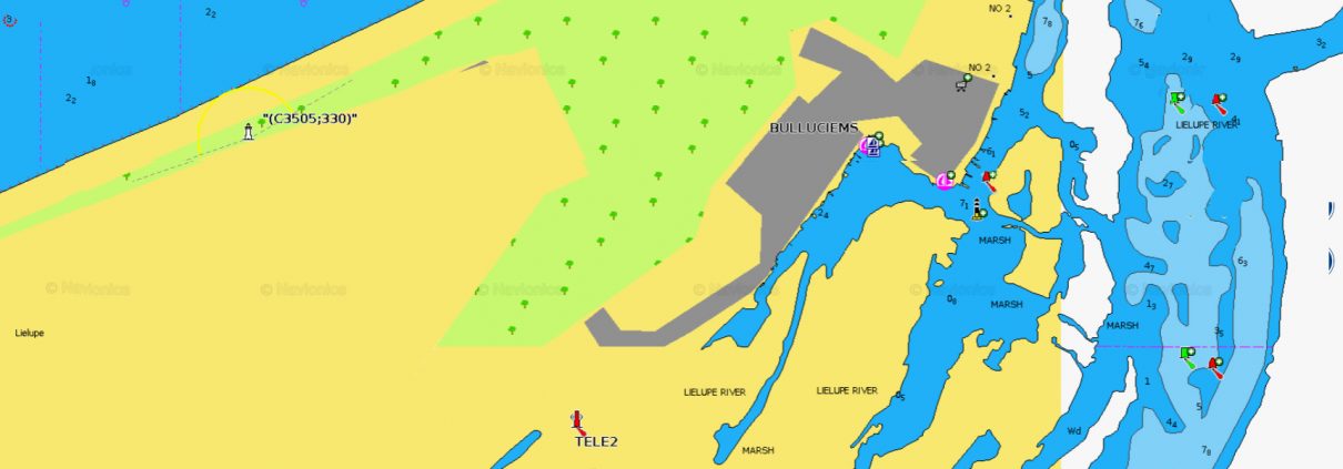
Safety of navigation in the navigation channel is ensured with the marker buoys (with navigation lights), in 2013 marker buoys installation was completed, to mark the navigable waterways in the port territory.

Navigācijas zīmju koordinātas

Procedure of use of navigational resources and waterways

  • In Lielupe the use of navigational resources and waterways is allowed in the places, where it is permitted according to the Addendum to these regulations and observing the requirements of the Directive No. 92 “Provisions of navigational vesels traffic in the inland waters” of the CM dated 001.05.2016

  • Traffic of navigational vesels in Lielupe is allowed only in specially designated areas, marked on-site with the inland water navigation signs and lights in line with  Addendum No.2 to the Directive No.92 ”Provisions of navigational vesels traffic in the inland waters” of the CM dated 01.05.2016

Depth measurements

Every year the navigation channel parameters change subject to depth measurements, therefore every year the navigation channel is planned based on the calculations that enable the yachts sailing in the Baltic sea to enter Lielupe.
The Latvian Maritime Administration measurements of the navigation channel of the Lielupe estuary:

11.06.2019.